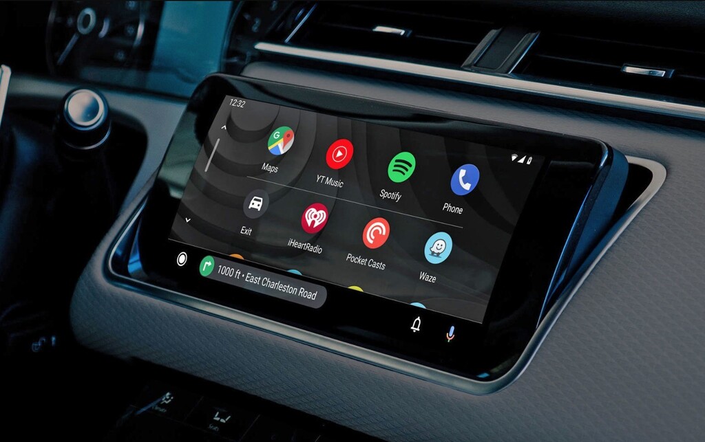


Google maps makes electric vehicle journeys easier and safer with its latest innovation for Android Auto: you can now plan the routes taking as reference two or more charging points. In addition, Google Maps begins to include the payment methods of power stations in Europe.
With the drawbacks that electric cars have in terms of supply, and the obligation to properly plan routes always taking charge points into account, Google have decided to update the Maps application of Android Auto to make it even more useful in vehicles powered by electricity. The routes will be safer, faster and more precise.
Given the special requirements that electric vehicles have, and with the difficulties that their owners have when it comes to taking long trips, plotting the stops of the trip on the map implies taking into account all the charging points. Usually, each brand of electric vehicle includes its own GPS route planner with the different ‘electric stations’, but it is not always up-to-date, nor does it have to include all available charging points. Google Maps comes to solve these problems.
The app included in Android Auto pre-installed vehicles is updated to provide optimized trip planning for electric cars. Google specifies that its algorithm now takes into account all charging stations so that the driver does not have to worry that his route strays too far from the stations: Google Maps can trace the journey paying special attention to ensuring that the autonomy of the vehicle is not in danger.
{“file”: “https://webediaespana.video.content-hub.app/default/video/28/fd/c2/600688fa4bd22f19f5/default-standard-1080.mp4”, “image”: “https: // webediaespana.delivery.content-hub.app/image/7e/43/92/600689163bef079324/original/13-trucos-para-sacarle-el-maximo-provecho-a-google-maps-bq.jpeg “}
Google ensures that the new version of Maps optimizes routes for electric vehicles in just ten seconds. The application takes into account the trips in which they will be needed two refills or more to trace a route as optimized as possible. The recharge times, as well as those of driving, will be previewed in the approximate duration of the trip (ETA or ‘Estimated Tie Arrival’).
Google Maps on Android Auto already shows the different stations with their recharge speed. In addition, Google adds the different means of payment of these stations throughout twelve European countries. In this way, it is much easier to plan the routes since those points where the user has an account can be selected.
The novelty comes to the Google Maps of Android Auto, first in the Polestar 2 and Volvo XC40. Later it will be extended to other vehicle models.
More information | Google
–
The news
Google Maps on Android Auto makes it easy to plan routes in electric cars
was originally published in
Xataka Android
by
Ivan Linares
.
Exploring the Top 5 Voice AI Alternatives: What Sets Them Apart?
How iGaming Platforms Ensure Seamless Integration of Casino Games and Sports Betting?
The Rise of Spatial Computing: Evolution of Human-Computer Interaction
Data Loss on Windows? Here's How Windows Recovery Software Can Help
Integrating Widgets Seamlessly: Tips for Smooth Implementation and Functionality