

The prevention of contagions moves the next changes in Google Maps: the company enhance your coronavirus-related information layer and it also adds more data in real time to the influx of public transport. Everything to keep the safety distance.
The holiday season is here. And, as much as the pandemic is going to change all our customs, the displacements are surely kept as far as possible. And Google has prepared its Maps application for this: the company improves its information layer on the coronavirus and has also introduced changes in influx data provided by Google Maps. All in order to enhance health security.
The most popular map and travel application will also be one of the most used during the Christmas holidays. Google knows. And it has been prepared so that the consultations get the most up-to-date information related to Covid-19.
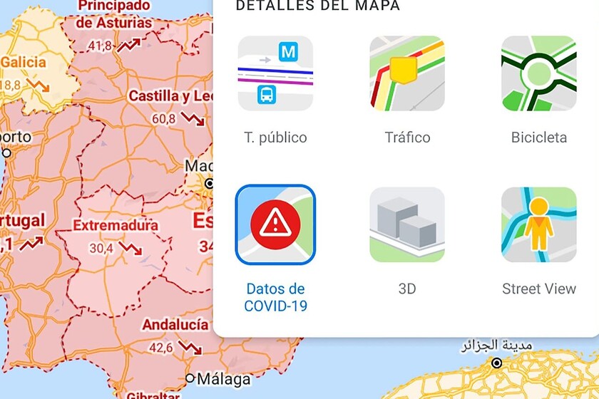
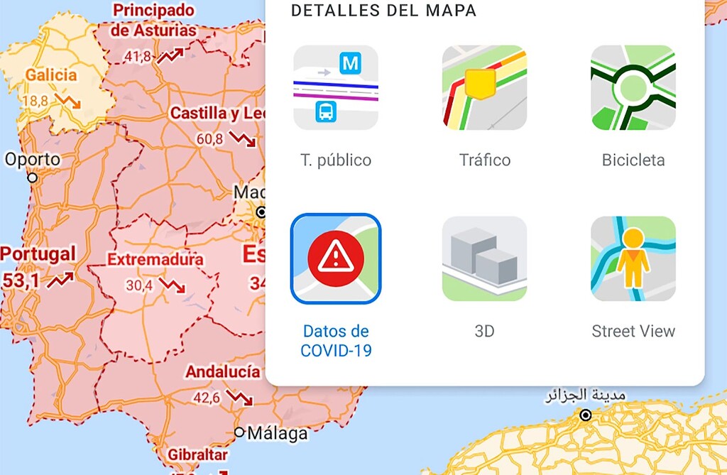
As confirmed by Google on the company blog, Maps receives two important updates related to the health security of users. On the one hand, improves the layer with the Covid-19 data applied to the map territory. New infections, deaths, trends of the last seven days and colored maps to indicate the affectation graphically. In this way, the traveler has health information available during the planning of the trip and without having to fight with the official data since Google takes them from recognized sources.
The second update improves travel by public transport so that the trip can be planned avoiding crowds as much as possible. Soon we will be able to see through Google Maps how fully the transport of the route we are planning is going; which is completed with the influx data of the place and the times during which it usually fills up. With all this information in real time it is much easier to maintain the distance between people in order to avoid contagion as much as possible.
Another novelty of the application is that Google Maps will begin to show the information of all food orders that are made through the app. The user will know when you have to go to get the dishes or when the delivery will arrive at your home
. Of course, at the moment this change is not global: Google is testing it in the United States, Canada, Germany, Australia, Brazil and India.
The news will be coming to Google Maps over the next few days and without having to explicitly update the application: Google will activate the changes in Maps from the side of its servers.
More information | Google
–
The news
Google Maps offers more data on the coronavirus and avoids crowds in public transport
was originally published in
Xataka Android
by
Ivan Linares
.
Exploring the Top 5 Voice AI Alternatives: What Sets Them Apart?
How iGaming Platforms Ensure Seamless Integration of Casino Games and Sports Betting?
The Rise of Spatial Computing: Evolution of Human-Computer Interaction
Data Loss on Windows? Here's How Windows Recovery Software Can Help
Integrating Widgets Seamlessly: Tips for Smooth Implementation and Functionality